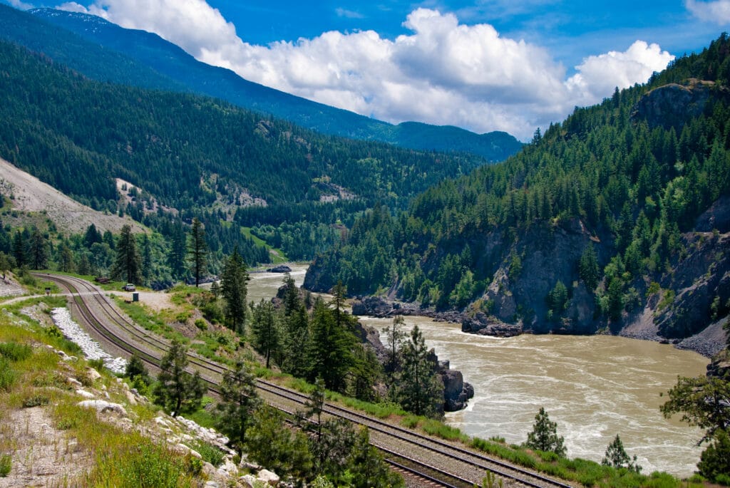
A late spring heat wave could trigger major flooding across the province, the BC River Forecast Centre has warned. The centre, which had previously warned that its May bulletin would strike a serious tone, declared this week that a cool spring had left the province facing a growing flood risk.
“Continued cool weather in May is increasing the risk for major flooding if a prolonged heat wave occurs later in the month or June,” the Centre said.
The snow basin index for the Fraser River at Hope is 23% above normal (compared to 8% above normal a month ago), according to the bulletin. Snowpacks are particularly high in the central part of the province, near Prince George and east of Quesnel.
You can see a snowpack map here.
We wrote last week about how the threat of high temperatures and a compressed melt boosts the flood risk.
“An extreme heat wave—like the heat dome in late June 2021—could lead to significant provincial flooding if it occurred between mid-May to mid-June,” the centre warned in this week’s bulletin. (You can see the full bulletin here.)
More cool temperatures are forecasted for the next week.
BC’s most anomalous snowpack is in the Liard River basin, where there is three times more snow than usual for this time of year. The Liard drains north into the Mackenzie River, which empties into the Arctic Ocean.


