- Fraser Valley Current
- Posts
- PHOTOS: Aerial views of the flooding in Abbotsford and Chilliwack
PHOTOS: Aerial views of the flooding in Abbotsford and Chilliwack
More aerial photos of the destructive flood waters covering the Fraser Valley have been released by the City of Chilliwack Wednesday.

Our story this morning on the state of Barrowtown station
Our comprehensive story on the history of Sumas Prairie, Sumas Lake, and the Nooksack River, click here.
As flooding begins to recede slightly in the west, eastern Fraser Valley residents are still receiving the brunt of the Nooksack River’s floodwaters. Chilliwack councillor Jason Lum shared photos taken by a City of Chilliwack drone sent up to survey the condition in the eastern Sumas Prairie.
Yesterday, the City of Abbotsford shared its first aerial shots of the damage impacting farmland across southeastern Abbotsford.
Photos below by City of Chilliwack and Abbotsford Police Department

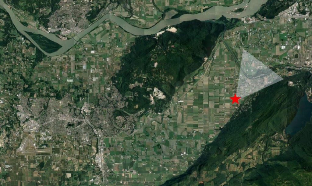
This photo’s location:


This photo’s location:


This photo’s location:


Reply